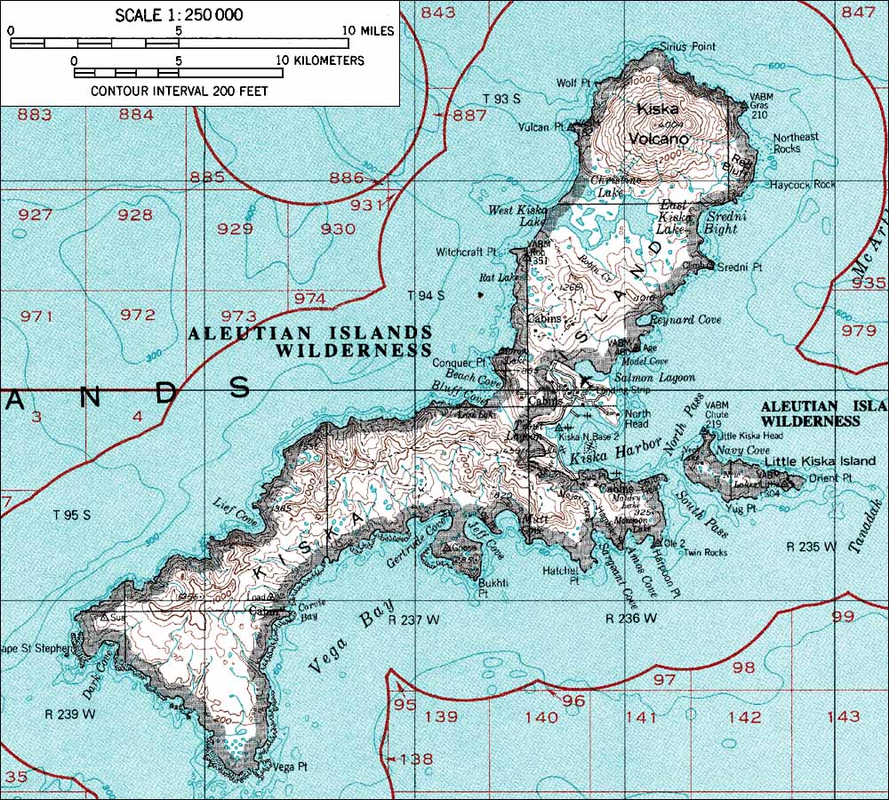
Image:KiskaMap.jpg
From Wikipedia, the free encyclopedia

Size of this preview: 666 × 599 pixel
Image in higher resolution (1000 × 900 pixel, file size: 248 KB, MIME type: image/jpeg)
from <http://www.skimountaineer.com/ROF/NorAm/Kiska/KiskaMap.jpg> USGS map
This image is a work of a United States Geological Survey employee, taken or made during the course of the person's official duties. As a work of the United States Government, the image is in the public domain. For more information, see the USGS copyright policy.
File history
Legend: (cur) = this is the current file, (del) = delete
this old version, (rev) = revert to this old version.
Click on date to download the file or see the image uploaded on that date.
- (del) (cur) 23:55, 6 August 2004 . . Foriskak (Talk | contribs) . . 1000×900 (253,710 bytes) (from <http://www.skimountaineer.com/ROF/NorAm/Kiska/KiskaMap.jpg> USGS map {{noncommercial}} )
- Edit this file using an external application
See the setup instructions for more information.
File links
The following pages on the English Wikipedia link to this file (pages on other projects are not listed):

