Image:Fig10-large.jpg
From Wikipedia, the free encyclopedia

Fig10-large.jpg (600 × 386 pixel, file size: 26 KB, MIME type: image/jpeg)
[edit] Summary
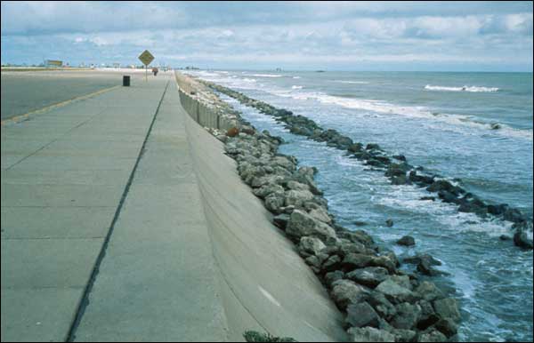
Credit: U. S. Geological Survey
U. S. Geological Survey
An Overview of Coastal Land Loss: With Emphasis on the Southeastern United States
USGS Open File Report 03-337
http://pubs.usgs.gov/of/2003/of03-337/images/fig10-large.jpg
http://pubs.usgs.gov/of/2003/of03-337/figures/fig10.html
[edit] Licensing
| This work is in the public domain in the United States because it is a work of the United States Federal Government under the terms of 17 U.S.C. § 105. See Copyright.
Note: This only applies to works of the Federal Government and not to the work of any individual US state, territory, commonwealth, county, subdivision, or municipality. |
 |
File history
Legend: (cur) = this is the current file, (del) = delete
this old version, (rev) = revert to this old version.
Click on date to download the file or see the image uploaded on that date.
- (del) (cur) 07:34, 6 March 2007 . . Geol310 mera (Talk | contribs) . . 600×386 (26,869 bytes) (Credit: U. S. Geological Survey<br /> U. S. Geological Survey<br /> An Overview of Coastal Land Loss: With Emphasis on the Southeastern United States<br /> USGS Open File Report 03-337<br /> http://pubs.usgs.gov/of/2003/of03-337/images/fig10-large.jpg<br )
- Edit this file using an external application
See the setup instructions for more information.

