Image:Spain.png
From Wikipedia

Size of this preview: 696 × 599 pixel
Image in higher resolution (992 × 854 pixel, file size: 380 KB, MIME type: image/png)
| | Hii ni faili kutoka Wikimedia Commons. Aridhio inayofuata ni kutoka ukurasa wa faili hii wa Commons. |
[edit] Summary
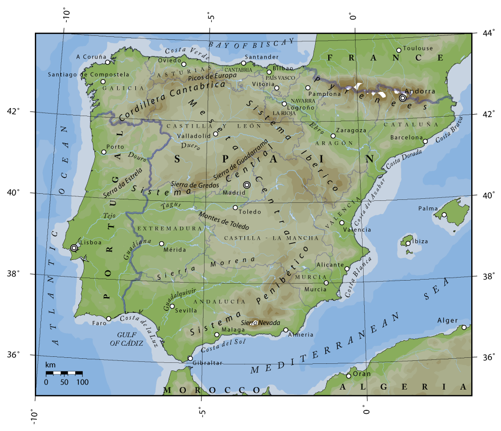
Topographical map of Spain.
Author: Bas de Jong
Sources:
- U.S. National Geophysical Data Center (NGDC)
- The Times Atlas of the World. 11th ed. London: Times Books, 2005.
- "Spain." Encyclopædia Britannica from Encyclopædia Britannica Online. <http://www.search.eb.com/eb/article-70258> [Accessed February, 2006].
- Contributors of Wikipedia, "Sistema Central," Wikipedia, La enciclopedia libre, http://es.wikipedia.org/w/index.php?title=Sistema_Central&oldid=2294461 (accessed February 2006).
[edit] Licensing

Links
The following pages link to this file:

