Картинка:DEMAlpesEW.png
от Уикипедия, свободната енциклопедия


Size of this preview: 800 × 365 pixel
Image in higher resolution (3128 × 1427 пиксела, размер на файла: 3,5 MB, MIME тип: image/png)
| | Този файл се намира в Общомедия — хранилището за свободно съдържание на Фондация Уикимедия. |
[edit] Summary
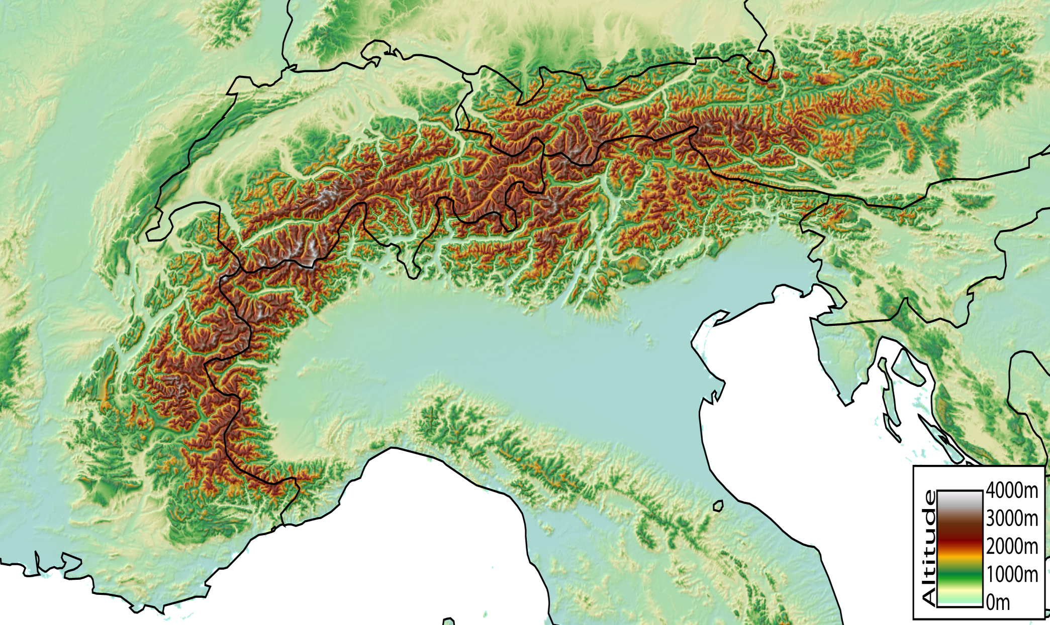
Español: Mapa digital de los Alpes, desde Niza hasta Viena
Digital Elevation Model of the Alps, from Nice (France) to Vienna (Austria) created by jide from the GTOPO30 dataset (pixel size ~1km).
[edit] Licensing

Препратки към файла
Следните страници сочат към файла:

