Image:Ireland map County Kerry Magnified.png
From Wikipedia, the free encyclopedia

No higher resolution available.
Ireland_map_County_Kerry_Magnified.png (188 × 244 pixel, file size: 10 KB, MIME type: image/png)
| | This is a file from the Wikimedia Commons. The description on its description page there is shown below. |
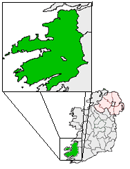
Ireland Map with County Kerry Magnified.

File links
The following pages on the English Wikipedia link to this file (pages on other projects are not listed):
- Tralee
- Killarney
- Dingle
- Ardfert
- Kenmare
- Killorglin
- Castleisland
- Listowel
- Cahirciveen
- Knightstown, County Kerry
- Portmagee
- Waterville, County Kerry
- Farranfore
- Abbeydorney
- Lispole
- Lixnaw
- Ballyferriter
- Ventry
- Castlegregory
- Annascaul
- Caherdaniel
- Derrynane
- Sneem
- Wikipedia:Irish Wikipedians' notice board/map gallery
- Dunquin
- Maharees
- Milltown, County Kerry
- Ballinskelligs
- Kilgarvan
- Rathmore, County Kerry
- Tarbert, County Kerry
- Ballylongford
- Feothanach
- Ard na Caithne
- Castlemaine, County Kerry
- Castlecove
- Caherboshina
- Brandon, County Kerry

