Irudi:Livland 15jh.png
Wikipedia(e)tik

Size of this preview: 666 × 599 pixel
Image in higher resolution (1000 × 900 pixel, fitxategiaren tamaina: 2.23 MB, MIME mota: image/png)
| | Fitxategi hau Wikimedia Commonsen dago, beste proiektu batzuekin elkarbanatuta. Informazio gehigarria ikusteko, jatorrizko orrialdera jo. |
[edit] Summary
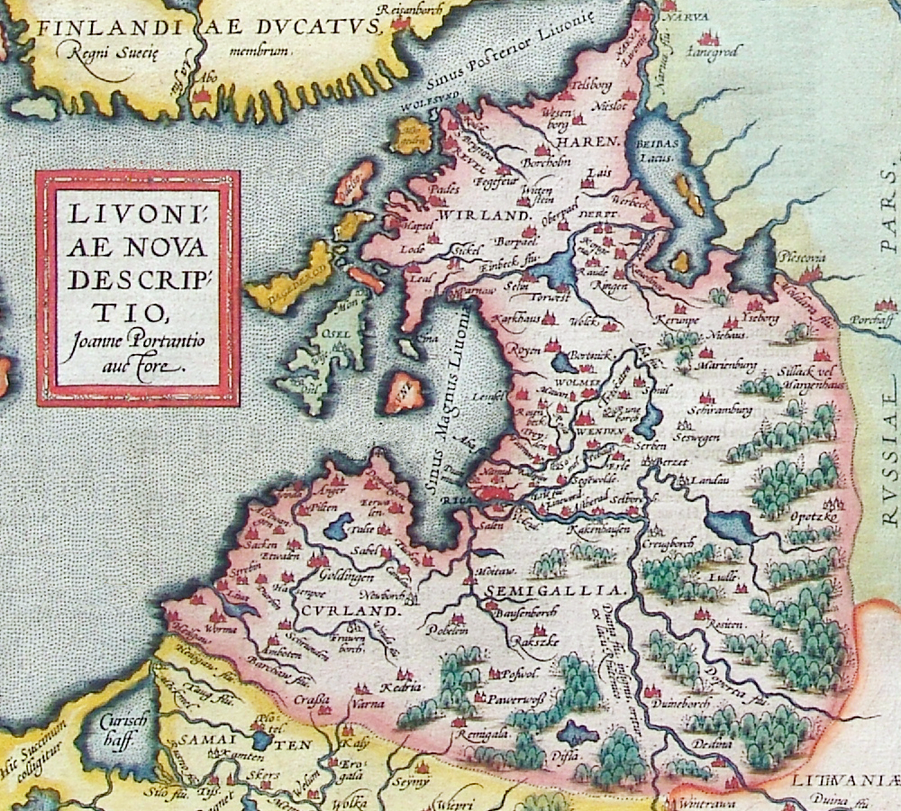
Beschreibung: Historische Karte von Livland, vermutlich 15. Jahrhundert
Description: Historical map of Livonia, likely 15th century

Quelle: Erbstück
Urheber: unbekannt
Datum vermutlich: 15. Jahrhundert
Scan by w:de:Benutzer:Exxu].
This is a copy of this map in the Deutsch Wikipedia
[edit] Licensing
| This image (or other media file) is in the public domain because its copyright has expired. This applies to the United States, Canada, the European Union and those countries with a copyright term of life of the author plus 70 years. العربية ǀ Български ǀ Català ǀ Česky ǀ Dansk ǀ Deutsch ǀ English ǀ Ελληνικά ǀ Esperanto ǀ Español ǀ Euskara ǀ فارسی ǀ Français ǀ Galego ǀ עברית ǀ हिन्दी ǀ Bahasa Indonesia ǀ Italiano ǀ 日本語 ǀ 한국어 ǀ Kurdî / كوردي ǀ Nederlands ǀ Norsk (nynorsk) ǀ Bahasa Melayu ǀ Polski ǀ Português ǀ Русский ǀ Slovenščina ǀ Shqip ǀ Suomi ǀ Svenska ǀ Türkçe ǀ 简体中文 ǀ 正體中文 ǀ +/- |

Irudiari loturak
Hurrengo orrialdeek dute fitxategi honetarako lotura:

