Kuva:Uk outline map.png
Wikipedia

Tämä kuvatiedosto on Wikimedia Commonsista ja se on Wikimedia-projektien yhteiskäytössä. Kuvan sivulla Commons-wikissä on lisätietoja kuvasta ja sen käyttöoikeustiedot.
[edit] Summary
 |
This Map image should be recreated using vector graphics as an SVG file. This has several advantages; see Commons:Images for cleanup for more information. If an SVG form of this image is already available, please upload it. After uploading an SVG, replace this template with template {{SupersededSVG|new image name.svg}} in this image. |
|
Català | Česky | Dansk | Deutsch | English | Esperanto | Español | Français | Italiano | 日本語 | 한국어 | Nederlands | Polski | Português | Русский | العربية | 正體中文 | +/- |
|
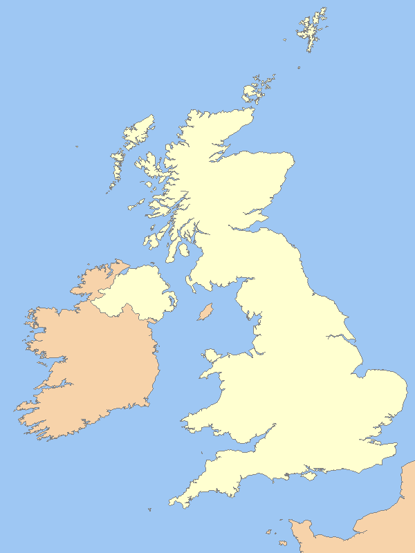
| Description |
A blank map of the United Kingdom, with country outline and coastline; contact the author for help with modifications or add-ons |
|---|---|
| Source |
Reference map provided by Demis Mapper 6 |
| Date |
2006-21-06 |
| Author | |
| Permission |
See below |
[edit] Licensing

Viittaukset sivuilta
Seuraavilta sivuilta on linkki tähän tiedostoon:

