그림:LocationUSA.png
위키백과 ― 우리 모두의 백과사전.

Size of this preview: 800 × 352 pixel
Image in higher resolution (1427 × 628 pixel, file size: 29 KB, MIME type: image/png)
![]() 이 자료는 위키미디어 공용에 있습니다. 이 자료에 대한 설명이 아래에 있습니다.
이 자료는 위키미디어 공용에 있습니다. 이 자료에 대한 설명이 아래에 있습니다.
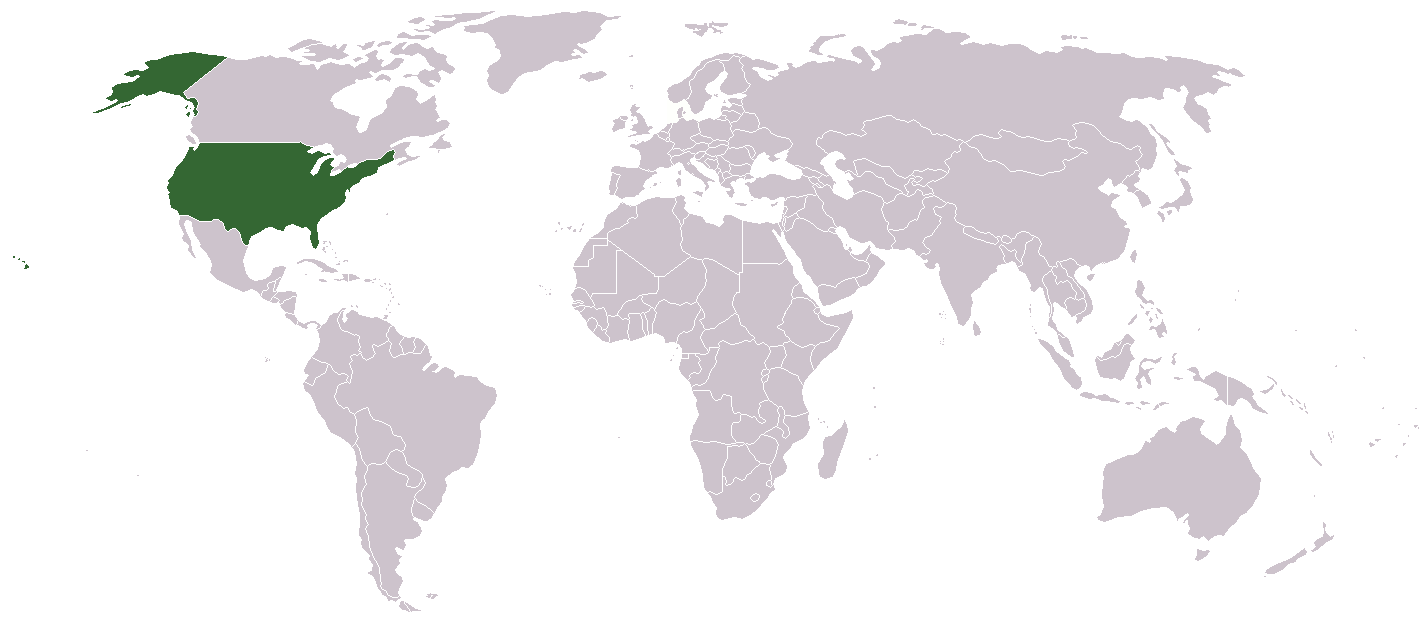
A country locator map for the United States created by Aris Katsaris

 A vector version of this image ("SVG") is available. For more information about vector graphics, read about Commons transition to SVG. |
 |
File history
Legend: (cur) = this is the current file, (del) = delete this old version, (rev) = revert to this old version. Click on date to download the file or see the image uploaded on that date. (Delete all revisions of this file) (cur) 10:32, September 17, 2005 . . Redwolf24 . . 250x115 (12649 bytes) (Reverted to earlier revision) (del) (rev) 13:15, August 4, 2005 . . Knolls . . 250x115 (12649 bytes) (Reverted to earlier revision) (del) (rev) 02:14, June 23, 2005 . . Alex12 3 . . 250x115 (16894 bytes) (Reverted to earlier revision) (del) (rev) 02:14, June 23, 2005 . . Alex12 3 . . 250x115 (12649 bytes) (Reverted to earlier revision) (del) (rev) 06:00, September 26, 2004 . . Siroxo . . 250x115 (16894 bytes) (minor fix to alaska color) (del) (rev) 11:33, July 27, 2004 . . Aris Katsaris . . 250x115 (12649 bytes) (locator map, created modified from other Wikipedia locator maps)
그림 링크
다음 문서들이 이 그림을 사용하고 있습니다:

