Image:Virginia counties and independent cities map.gif
Fram Wikipedian

Size of this preview: 800 × 389 pixels
Full resolution (1,009 × 491 pixel, file size: 70 KB, MIME type: image/gif)
[edit] Summary
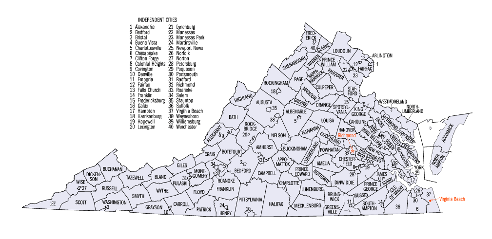
Map of Virginia counties and independent cities.
[edit] Licensing
 |
Permission is granted to copy, distribute and/or modify this document under the terms of the GNU Free Documentation License, Version 1.2 or any later version published by the Free Software Foundation; with no Invariant Sections, no Front-Cover Texts, and no Back-Cover Texts. Subject to disclaimers. Asturianu | Catalan | English | Español | Français | Gaeilge | Italiano | 日本語 | Polski | Portugês | Română | +/- |
File history
Click on a date/time to view the file as it appeared at that time.
| Date/Time | Brūcend | Dimensions | File size | Comment | |
|---|---|---|---|---|---|
| current | 20:34, 16 Winterfylleþ 2006 | JosN | 1,009×491 | 70 KB | Map of Virginia counties and independant cities. |
Biliþbendas
Þā folgendan trametas bindaþ tō þissum biliðe:

