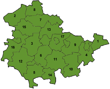
Слика:Thuringia map.png
Од Википедија, слободна енциклопедија

Thuringia_map.png (430 × 350 pixel, file size: 15 KB, MIME type: image/png)
  It is recommended that the other file be used. If you just added this tag and want to nominate this image for deletion, please check if it is used and if so replace it with the new image.
Afterwards please add the following code to here: (Please review the discussion here.)
Important: Before deleting this file, check if the new one is really superior! Also check:
Afrikaans | Alemannisch | العربية | Български | Česky | Dansk | Deutsch | English | Ελληνικά | Esperanto | Español | Français | Galego | עברית | हिन्दी | Magyar | Bahasa Indonesia | Ido | Italiano | 日本語 | 한국어 | Nederlands | Norsk (nynorsk) | Polski | Português | Românǎ | Русский | Slovenščina | Српски | Svenska | Türkçe | 简体中文 | 正體中文 | +/- |
Thuringia map, uploaded on 25 February 2003 by en:User:Cordyph.

Врски кон сликата
Следните страници ја користат оваа слика:

