Afbeelding:South Africa Provinces showing WC.png
Van Wikipedia

Grootte van dit voorbeeld: 800 × 578 pixels
Afbeelding in hogere resolutie (1146 × 828 pixels, bestandsgrootte: 20 KB, MIME-type: image/png)
| | Dit is een bestand van Wikimedia Commons. Onderstaande beschrijving komt van de beschrijving van het bestand daar. Controleer het gebruik van dit bestand in andere Wikimediaprojecten. |
Contents |
[edit] Summary
[edit] Summary
| Description |
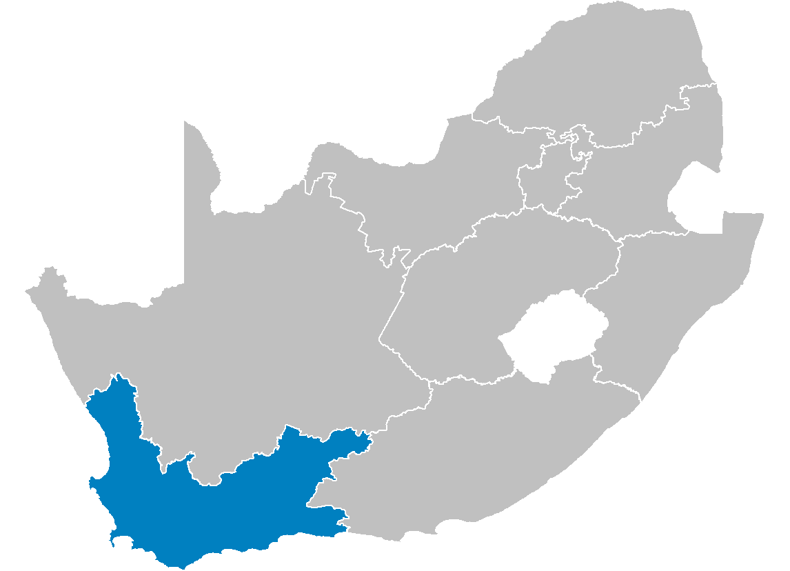
Map of South Africa showing the Western Cape province after the 12th amendment of the constitution in December 2005. |
|---|---|
| Source |
Created by me from Shapefile data from the Municipal Demarcation Board, South Africa. |
| Date |
2006-04-29 |
| Author |
Wayne Dam (User:Waynedam) |
| Permission |
Dual-licensed under the GFDL and CC-By-SA-2.5, 2.0, and 1.0. |
[edit] Licensing

[edit] Licensing
|
Bestandsverwijzingen
Dit bestand wordt op de volgende pagina's gebruikt:

