Imatge:South Africa Provinces showing WC.png
De Viquipèdia

Mida d'aquesta previsualització: 800 × 578 pixel
Imatge en resolució més alta (1146 × 828 píxels, mida de l'arxiu: 20 KB, tipus MIME: image/png)
| | Aquest arxiu és una càrrega compartida, extreta del projecte Wikimedia Commons i pot ser usada per altres projectes. Si voleu disposar de més informació sobre el fitxer, podeu visitar la pàgina original |
Contents |
[edit] Summary
[edit] Summary
| Description |
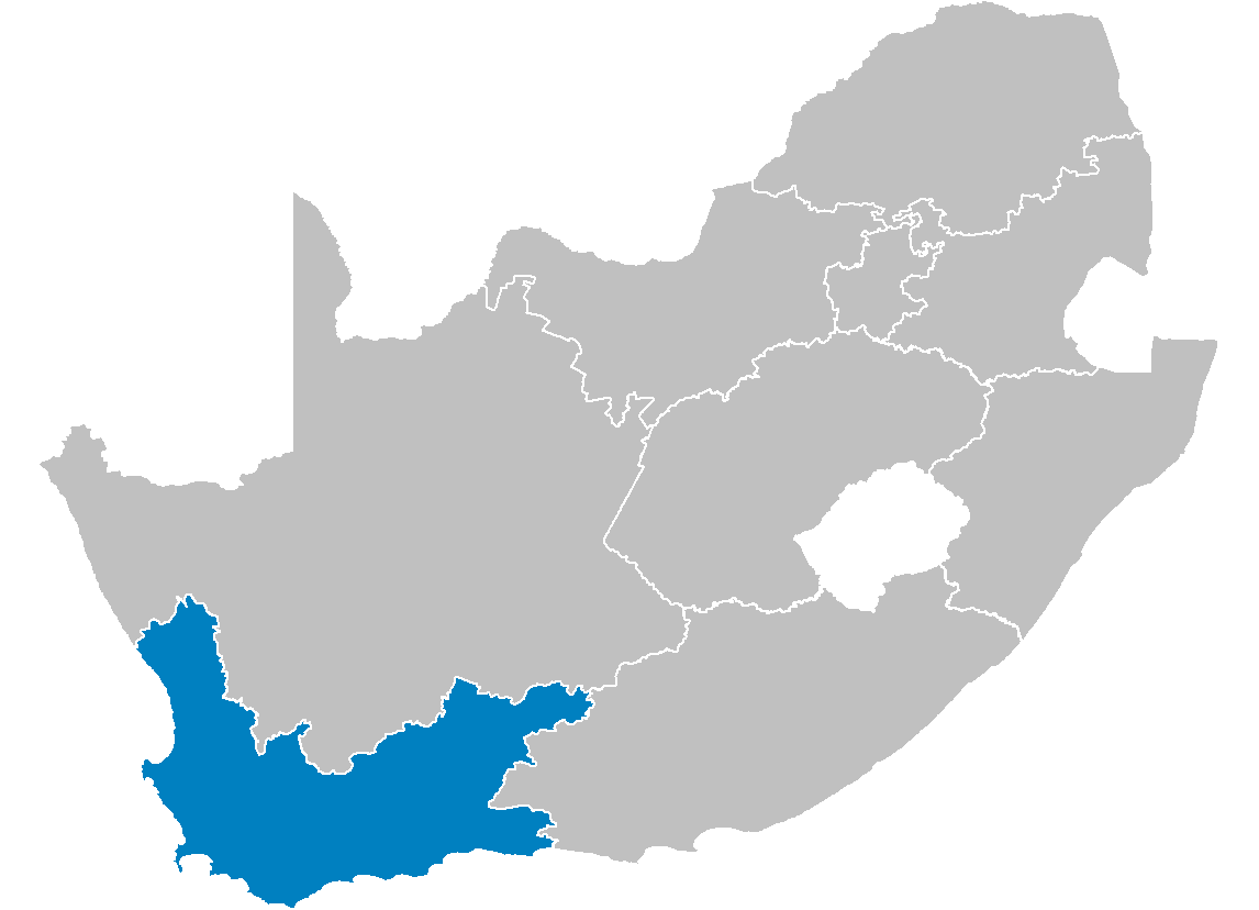
Map of South Africa showing the Western Cape province after the 12th amendment of the constitution in December 2005. |
|---|---|
| Source |
Created by me from Shapefile data from the Municipal Demarcation Board, South Africa. |
| Date |
2006-04-29 |
| Author |
Wayne Dam (User:Waynedam) |
| Permission |
Dual-licensed under the GFDL and CC-By-SA-2.5, 2.0, and 1.0. |
[edit] Licensing

[edit] Licensing
|
Enllaços a la imatge
Les següents pàgines enllacen a aquesta imatge:

