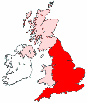
Soubor:Map of England within the United Kingdom.png
Z Wikipedie, otevřené encyklopedie

Větší rozlišení není k dispozici
Map_of_England_within_the_United_Kingdom.png (rozměr: 290 × 342 pixelů • velikost souboru: 35 kB • MIME typ: image/png)
| | Tento soubor pochází z Wikimedia Commons. Můžete se podívat na jeho tamější stránku s popisem. |
Created by Morwen.

Odkazy k souboru
Na soubor odkazují tyto stránky:

