Billede:Map of USA highlighting Mississippi.png
Fra Wikipedia, den frie encyklopædi


Map_of_USA_highlighting_Mississippi.png (280 × 183 pixel, file size: 35 KB, MIME type: image/png)
| Denne fil er fra Wikimedia Commons, en samling af åbent indhold som Wikimedia Foundation er vært for. Beskrivelsen fra siden med beskrivelse af billedet er vist nedenfor. |
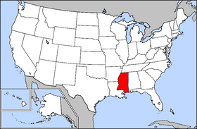
Public domain map courtesy of The General Libraries, The University of Texas at Austin, modified to highlight state boundaries.
From en:

  It is recommended that the other file be used. If you just added this tag and want to nominate this image for deletion, please check if it is used and if so replace it with the new image.
Afrikaans | Alemannisch | العربية | Български | Česky | Dansk | Deutsch | English | Ελληνικά | Esperanto | Español | Français | Galego | עברית | हिन्दी | Magyar | Bahasa Indonesia | Ido | Italiano | 日本語 | 한국어 | Nederlands | Norsk (nynorsk) | Polski | Português | Românǎ | Русский | Slovenščina | Српски | Svenska | Türkçe | 简体中文 | 正體中文 | +/- |
Billedehenvisninger
De følgende sider henviser til dette billede:

