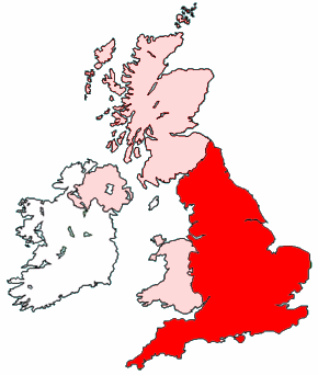
Image:Map of England within the United Kingdom.png
Un article de Wikipédia, l'encyclopédie libre.

Pas de plus haute résolution disponible.
Map_of_England_within_the_United_Kingdom.png (290 × 342 pixels • taille du fichier : 35 ko • type MIME : image/png)
| Ce fichier et les informations de sa page de description sont présents sur Wikimedia Commons. |
Created by Morwen.

Pages contenant l’image
Les pages ci-dessous contiennent cette image :

