Image:Map of USA highlighting Mississippi.png
Un articllo de Wikipedia, l’enciclopèdia abada.

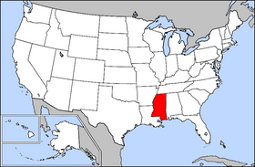
Map_of_USA_highlighting_Mississippi.png (280 × 183 pixel, file size: 35 ko, MIME type: image/png)
| Ceti fichiér et les enformacions de sa pâge de dèscripcion sont presents sur (fr) Wikimedia Commons. |
Public domain map courtesy of The General Libraries, The University of Texas at Austin, modified to highlight state boundaries.
From en:

  It is recommended that the other file be used. If you just added this tag and want to nominate this image for deletion, please check if it is used and if so replace it with the new image.
Afterwards please add the following code to here: (Please review the discussion here.)
Important: Before deleting this file, check if the new one is really superior! Also check:
Afrikaans | Alemannisch | العربية | Български | Česky | Dansk | Deutsch | English | Ελληνικά | Esperanto | Español | Français | Galego | עברית | हिन्दी | Magyar | Bahasa Indonesia | Ido | Italiano | 日本語 | 한국어 | Nederlands | Norsk (nynorsk) | Polski | Português | Românǎ | Русский | Slovenščina | Српски | Svenska | Türkçe | 简体中文 | 正體中文 | +/- |
Pâges conte(g)nent l’émâge
Les pâges ce-desot conte(g)nont ceta émâge :

