Immagine:Svcmap gotland.png
Da Wikipedia, l'enciclopedia libera.

Svcmap_gotland.png (192 × 400 pixel, dimensioni: 8 KB, tipo MIME: image/png)
Questo file proviene da Wikimedia Commons, per ulteriori informazioni vedi la sua pagina di descrizione.
Se non hai mai usato Commons, visita la pagina di benvenuto, o leggi le FAQ.
 It is recommended that the other file be used. If you just added this tag and want to nominate this image for deletion, please check if it is used and if so replace it with the new image.
Afterwards please add the following code to here: (Please review the discussion here.)
Important: Before deleting this file, check if the new one is really superior! Also check:
Afrikaans | Alemannisch | العربية | Български | Česky | Dansk | Deutsch | English | Ελληνικά | Esperanto | Español | Français | Galego | עברית | हिन्दी | Magyar | Bahasa Indonesia | Ido | Italiano | 日本語 | 한국어 | Nederlands | Norsk (nynorsk) | Polski | Português | Românǎ | Русский | Slovenščina | Српски | Svenska | Türkçe | 简体中文 | 正體中文 | +/- |
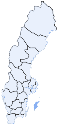
Map Swedish Counties, Gotland
made by: User:Mic
first uppload: May 3 2003

Pagine che usano questa immagine
Le pagine seguenti richiamano questa immagine:

