Image:Map of China.png
From Wikipedia, the free encyclopedia

No higher resolution available.
Map_of_China.png (632 × 322 pixel, file size: 25 KB, MIME type: image/png)
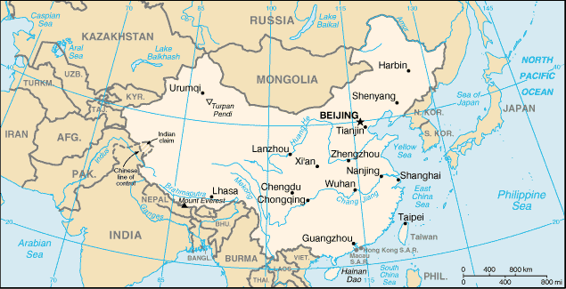
Map of China from CIA World Factbook, modified. coloured, further labeled.
- Source: [1].
- Modified using by Paint_Shop_Pro 6.
- Smaller img: Image:Smaller map of China.png
| This file has been released into the public domain by the copyright holder, its copyright has expired, or it is ineligible for copyright. This applies worldwide. | |
Note: This tag is deprecated! Please use instead:
|
File history
Legend: (cur) = this is the current file, (del) = delete
this old version, (rev) = revert to this old version.
Click on date to download the file or see the image uploaded on that date.
- (del) (cur) 17:59, 25 October 2004 . . Dcoetzee (Talk | contribs) . . 632×322 (25,617 bytes) (Removed border, reduced size and palette slightly)
- (del) (rev) 07:52, 21 June 2003 . . Menchi (Talk | contribs) . . 635×325 (28,487 bytes) (star for Taipei (thx to Jiang for noticing))
- (del) (rev) 15:50, 20 June 2003 . . Lorax (Talk | contribs) . . 660×338 (198,400 bytes) (optimized png file)
- (del) (rev) 11:52, 20 June 2003 . . Menchi (Talk | contribs) . . 660×338 (230,927 bytes) (Factbook, modified. coloured, further labeled)
- Edit this file using an external application
See the setup instructions for more information.
File links
No pages on the English Wikipedia link to this file. (Pages on other projects are not counted.)

