
Image:LocationUSA.png
नेपाली विकिपीडियाबाट
Size of this preview: ८०० × ३५२ pixels
Full resolution (१,४२७ × ६२८ pixel, file size: २९ KB, MIME type: image/png)
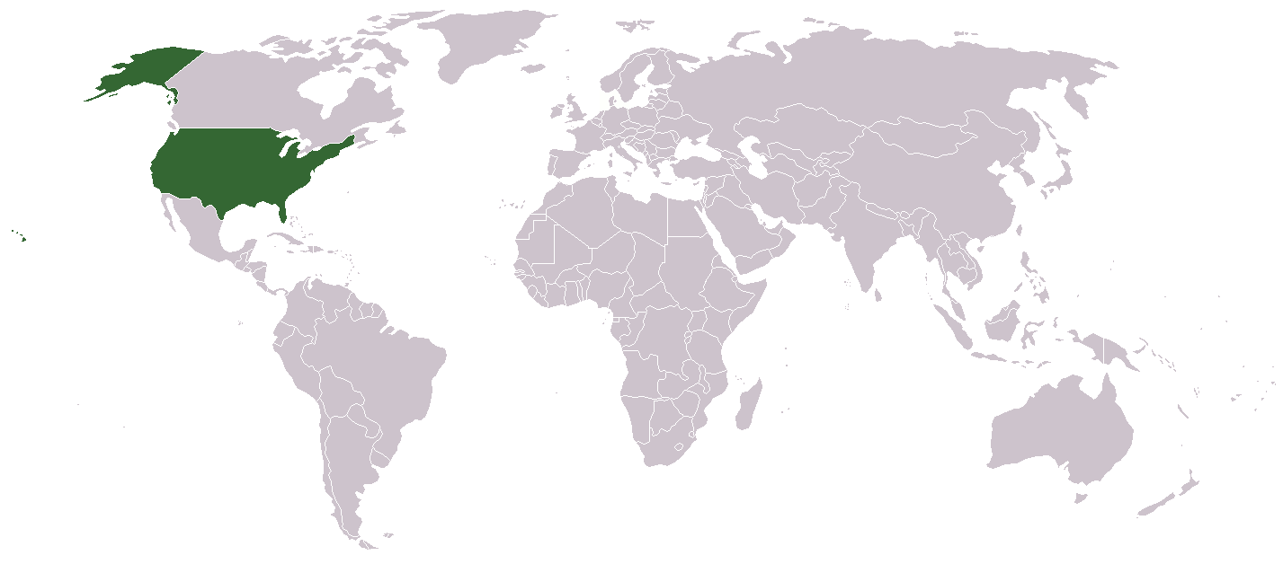
A country locator map for the United States created by Aris Katsaris

 A vector version of this image ("SVG") is available. For more information about vector graphics, read about Commons transition to SVG. Deutsch | English | Español | Français | Galego | עברית | Magyar | Italiano | 日本語 | Polski | Русский | Српски | Українська | +/- |
 |
[edit] File history
- Legend: (cur) = this is the current file, (del) = delete this old version, (rev) = revert to this old version.
- Click on date to download the file or see the image uploaded on that date.
- (Delete all revisions of this file) (cur) 10:32, September 17, 2005 . . Redwolf24 . . 250x115 (12649 bytes) (Reverted to earlier revision)
- (del) (rev) 13:15, August 4, 2005 . . Knolls . . 250x115 (12649 bytes) (Reverted to earlier revision)
- (del) (rev) 02:14, June 23, 2005 . . Alex12 3 . . 250x115 (16894 bytes) (Reverted to earlier revision)
- (del) (rev) 02:14, June 23, 2005 . . Alex12 3 . . 250x115 (12649 bytes) (Reverted to earlier revision)
- (del) (rev) 06:00, September 26, 2004 . . Siroxo . . 250x115 (16894 bytes) (minor fix to alaska color)
- (del) (rev) 11:33, July 27, 2004 . . Aris Katsaris . . 250x115 (12649 bytes) (locator map, created modified from other Wikipedia locator maps)
File history
Click on a date/time to view the file as it appeared at that time.
| Date/Time | User | Dimensions | File size | Comment | |
|---|---|---|---|---|---|
| current | ११:०७, ९ जुन २००६ | Aivazovsky | १,४२७×६२८ | २९ KB | |
| २०:०५, २ मार्च २००६ | Golbez | २५०×११५ | १२ KB | Reverted to earlier revision | |
| १३:५८, २ मार्च २००६ | Mr.Do! | २५०×११५ | १४ KB | A country locator map for the United States created by Mr. 003 {{GFDL}} File history Legend: (cur) = this is the current file, (del) = delete this old version, (rev) = revert to this old version. Click on date | |
| ०६:१६, १ डिसेम्बर २००५ | Pamri | २५०×११५ | १२ KB | uploaded current version from en. | |
| १७:३५, ३१ डिसेम्बर २००४ | Bjarki S | २५०×११५ | १६ KB |
Links
The following pages link to this file:

