Image:South Africa Districts showing Amatole.png
From Wikipedia, the free encyclopedia

Size of this preview: 800 × 581 pixel
Image in higher resolution (1141 × 828 pixel, file size: 31 KB, MIME type: image/png)
| | This is a file from the Wikimedia Commons. The description on its description page there is shown below. |
Contents |
[edit] Summary
[edit] Summary
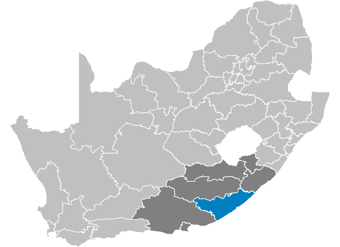
| Description |
Map showing the Amatole District Municipality higlighted within Eastern Cape. |
|---|---|
| Source |
Created by me from Shapefile data from the Municipal Demarcation Board, South Africa. |
| Date |
2006-04-27 |
| Author |
Wayne Dam (User:Waynedam) |
| Permission |
Dual-licensed under the GFDL and CC-By-SA-2.5, 2.0, and 1.0. |
[edit] Licensing

[edit] Licensing
|

