Image:Map of USA highlighting New Jersey.png
维基百科,自由的百科全书

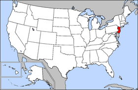
Map_of_USA_highlighting_New_Jersey.png (280 × 183 画素, 档案大小: 35 KB, MIME type: image/png)
Public domain map courtesy of The General Libraries, The University of Texas at Austin, modified to highlight state boundaries.
  It is recommended that the other file be used. If you just added this tag and want to nominate this image for deletion, please check if it is used and if so replace it with the new image.
Afterwards please add the following code to here: (Please review the discussion here.)
Important: Before deleting this file, check if the new one is really superior! Also check:
Afrikaans | Alemannisch | العربية | Brezhoneg | Česky | Dansk | Deutsch | English | Ελληνικά | Esperanto | Español | Français | Galego | עברית | हिन्दी | Magyar | Bahasa Indonesia | Ido | Italiano | 日本語 | 한국어 | Nederlands | Norsk (nynorsk) | Polski | Português | Română | Русский | Slovenščina | Српски / Srpski | Svenska | Türkçe | 中文(简体) | 中文(繁體) | +/- |
From en:

图像链接
以下页面链接到本图像:

