Image:Map of USA highlighting New Mexico.png
维基百科,自由的百科全书

此为最大尺寸。
Map_of_USA_highlighting_New_Mexico.png (280 × 183 画素, 档案大小: 36 KB, MIME type: image/png)
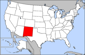
Public domain map courtesy of The General Libraries, The University of Texas at Austin, modified to highlight state boundaries.
From en:

 A vector version of this image ("SVG") is available. For more information about vector graphics, read about Commons transition to SVG. |
 |
图像链接
以下页面链接到本图像:

