Image:DaylightSaving-World-Subdivisions.png
维基百科,自由的百科全书

[edit] Summary
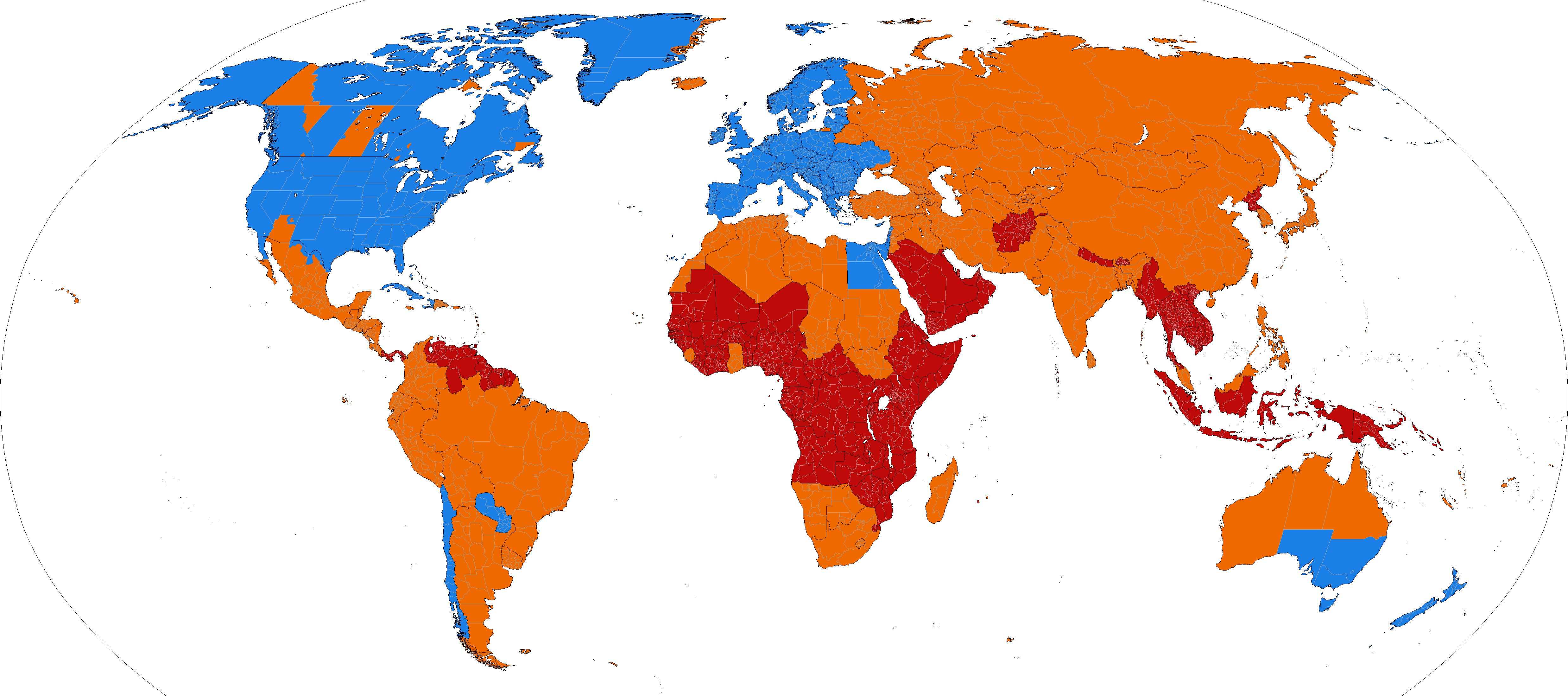
| Description |
World map showing current and past daylight saving usage ██ Areas that have DST ██ Areas that once had DST ██ Areas that had never had DST |
|---|---|
| Source |
based on Image:BlankMap-World-Subdivisions.PNG, plus the data in the tz database. |
| Date |
2007-04-17 |
| Author |
Paul Eggert |
| Permission |
see below |
Changes to DST rules, or discoveries about errors in historical data, would require changes to the image.
[edit] Licensing

图像链接
以下页面链接到本图像:

