Image:Europe20000ya.png
From Wikipedia, the free encyclopedia


Size of this preview: 800 × 532 pixel
Image in higher resolution (1000 × 665 pixel, file size: 106 KB, MIME type: image/png)
| | This is a file from the Wikimedia Commons. The description on its description page there is shown below. |
[edit] Summary
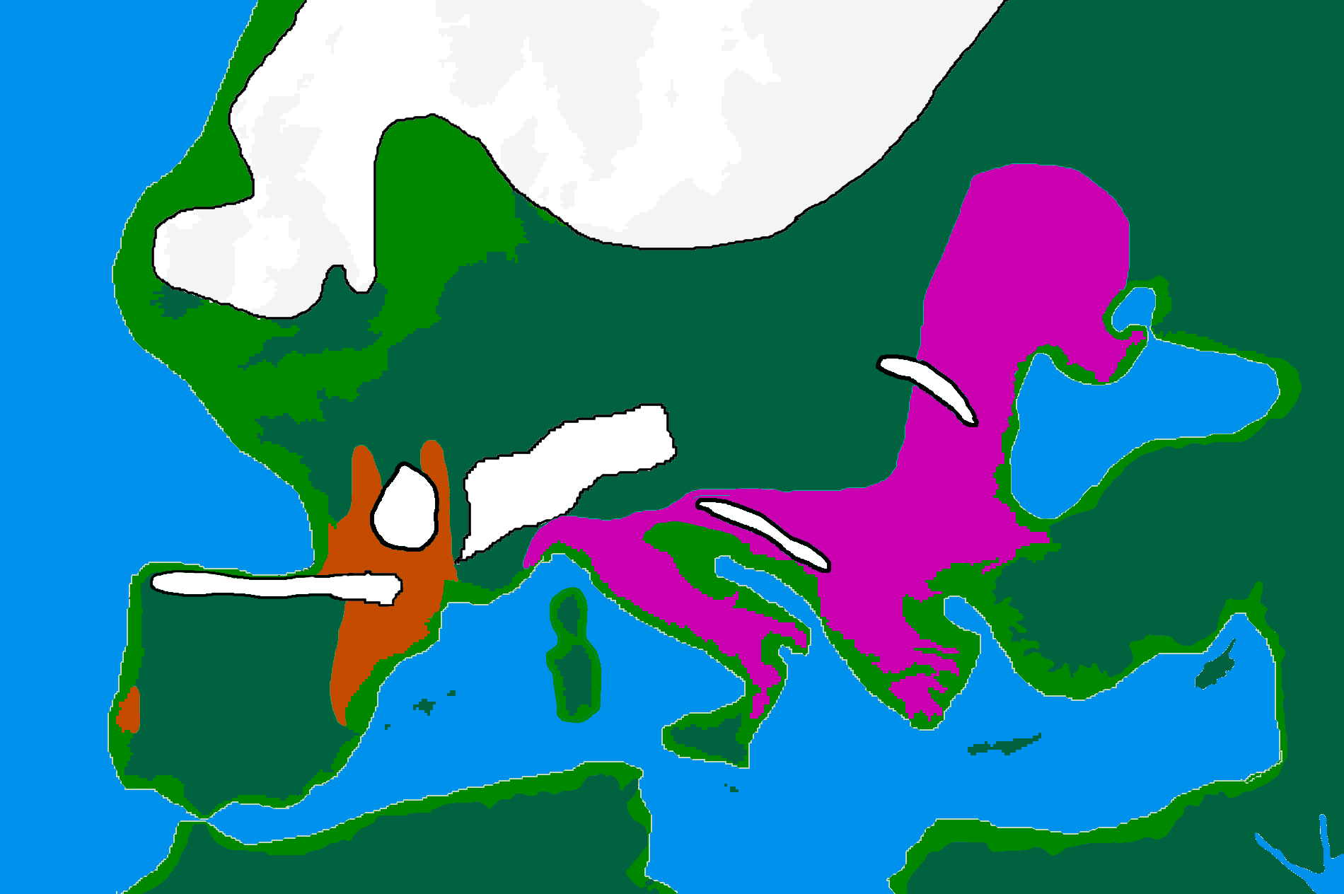
| Description |
map of Europe 20,000 years ago. |
|---|---|
| Source |
made by me from Image:BlankMap-Europe-v3.png, which is GFDL v1.2, outline of ancient coast and extent of ice added by me from information from "After the Ice: A Globa History" by Steve Mithen. Information about human refugia from "Origins of the British" by Stephen Oppenheimer. These were sketched in by me from information supplied by these books. |
| Date |
25 Februare 2007 |
| Author | |
| Permission |
GFDL |
[edit] Licensing

File links
The following pages on the English Wikipedia link to this file (pages on other projects are not listed):

