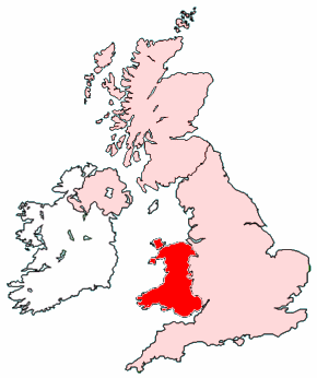
Image:Map of Wales within the United Kingdom.png
Na Galipedia, a wikipedia en galego.

Non se dispón de resolución máis grande.
Map_of_Wales_within_the_United_Kingdom.png (290 × 346 píxeles, tamaño do ficheiro: 35 KB, tipo MIME: image/png)
| | Este ficheiro procede de Wikimedia Commons. Por favor vexa a páxina coa información da licenza de uso en Commons. |
Created by Morwen.

Ligazóns de imaxe
As seguintes páxinas ligan con esta imaxe:

