Beeld:South Africa Provinces showing FS.png
vanuit Wikipedia, die vrye ensiklopedie.

Size of this preview: 800 × 578 pixel
Image in higher resolution (1146 × 828 pixel, file size: 20 KB, MIME type: image/png)
Contents |
[edit] Summary
[edit] Summary
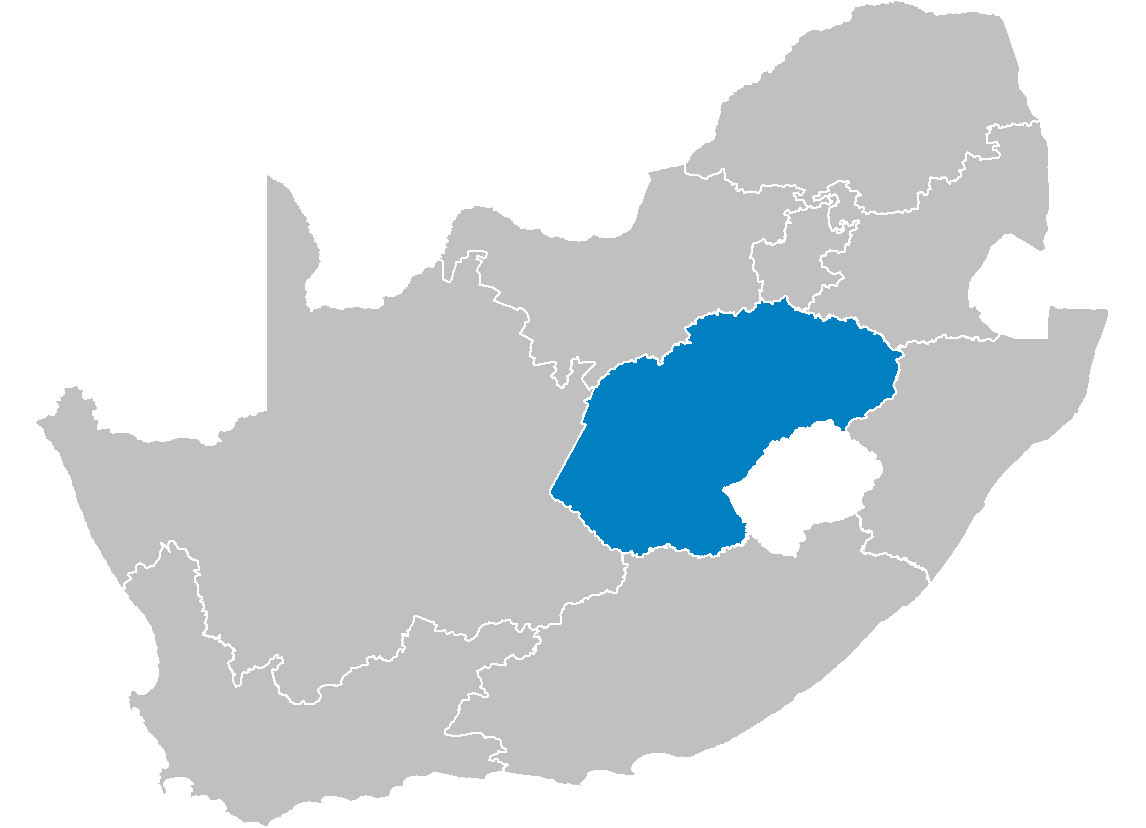
| Description |
Map of South Africa showing the Free State province after the 12th amendment of the constitution in December 2005. |
|---|---|
| Source |
Created by me from Shapefile data from the Municipal Demarcation Board, South Africa. |
| Date |
2006-04-29 |
| Author |
Wayne Dam (User:Waynedam) |
| Permission |
Dual-licensed under the GFDL and CC-By-SA-2.5, 2.0, and 1.0. |
[edit] Licensing

[edit] Licensing
|
Prentskakels
Die volgende bladsye gebruik hierdie prent:

